02/16/2022 - 10:15 hrs.
Don't get lost at UNAM!
Share:


By Liliana Martínez
UNAM 's Central University City Campus measures more than 7 km2 –that is bigger than Luxembourg and Monaco together! Given that, here are all the maps of UNAM's means of transportation so you don't get lost and get to your classes on time.
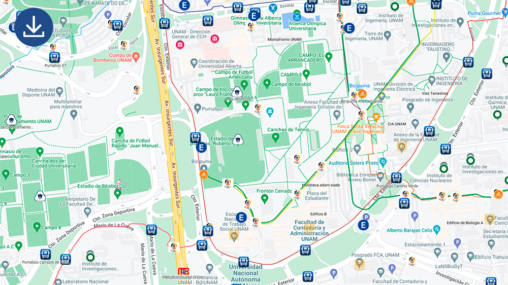
1. University City Map
You will be able to find where your faculty, school, center, campus accesses, and Mexico City’s public transportation stops are.
Have you already spotted near locations to your school or faculty?
2. Map of Pumabús routes
The 12 Pumabús routes are a SAFE and FREE service that allows you to travel around the University City. The Pumabús schedule is from Monday to Friday from 6:00 am to 10:00 pm on all routes. On Saturday and Sunday, for routes 1, 2, 4 and 9 the schedule is from 6:00 am to 3:00 pm, and for routes 3 and 10 from 6:00 am to 11:00 pm.
Go for a ride in the PUMABÚS!
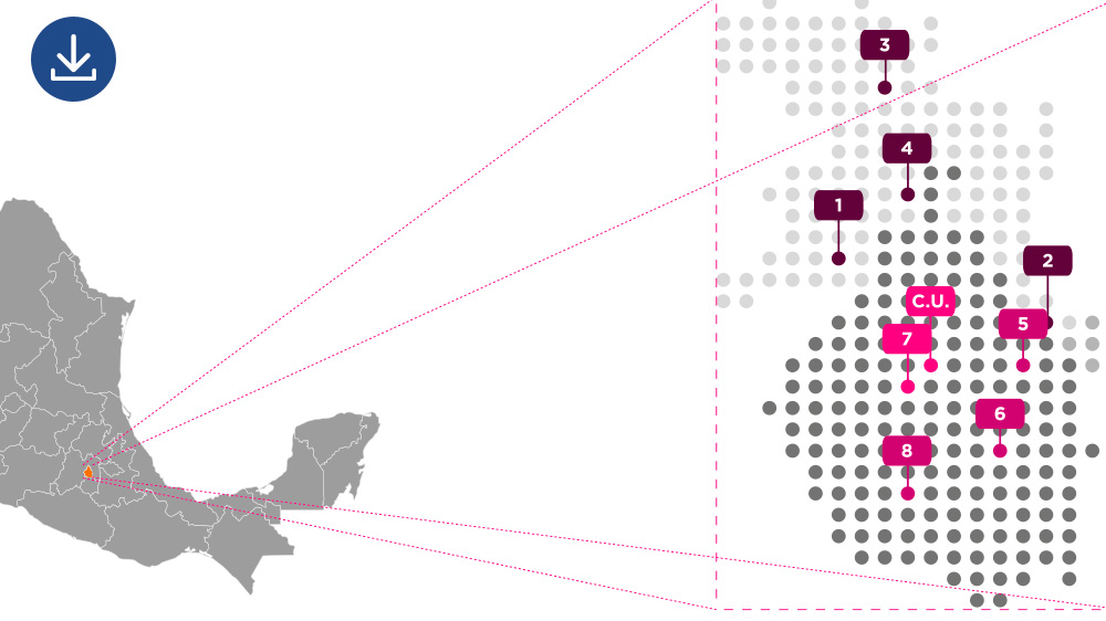
3. UNAM’s campuses map in the CDMX and Metropolitan Area
UNAM has 8 campuses outside University City within Mexico City and Metropolitan Area. These campuses also offer a wide range of academic offerings. Identify this campuses in case you would like to study in any of them.
Discover all the sports, cultural, academic, and many other activities offered to all students.
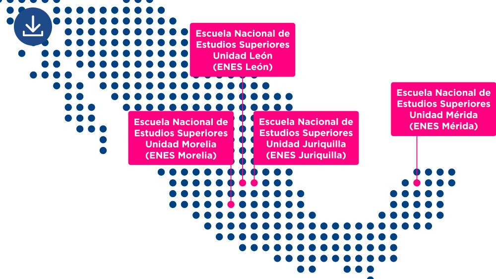
4. UNAM’s campuses map in the Mexican Republic
UNAM's educational offerings are also found throughout Mexico, located on the campuses of the National Schools of Higher Education (ENES).
Which ones did you already know?
National School of Higher Education Campus León (ENES León)
National School of Higher Education Campus Morelia (ENES Morelia)
National School of Higher Education Campus Juriquilla (ENES Juriquilla)
National School of Higher Education Campus Mérida (ENES Mérida)
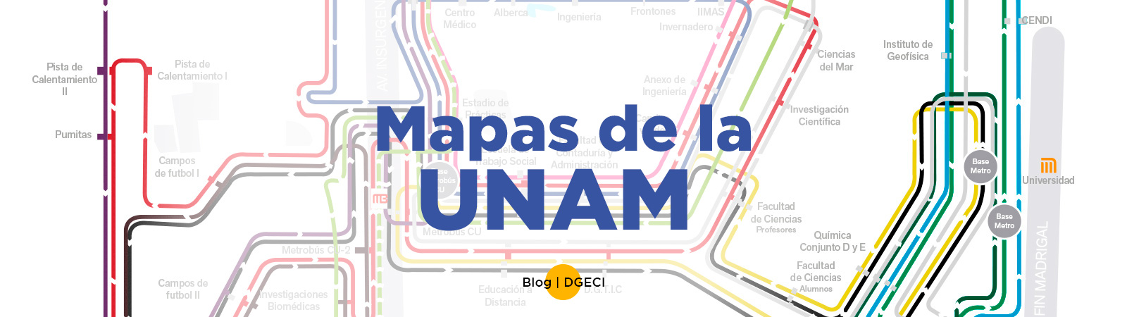
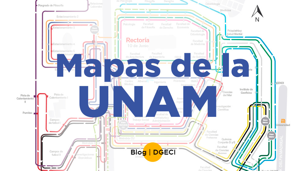
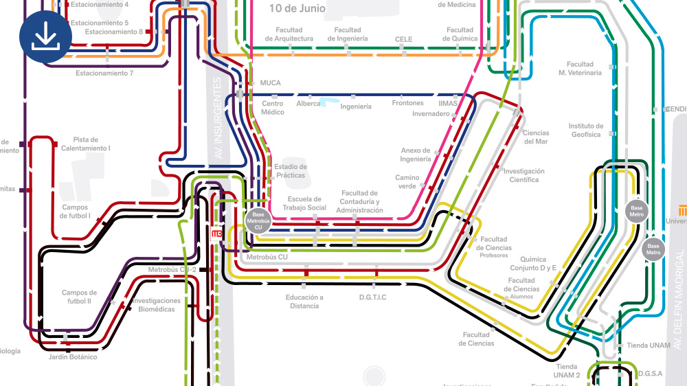
5. Senderos universitarios map
Senderos universitarios App and the hereunder interactive map show the paths and transportation connected to the different buildings, centers, faculties, schools, museums, institutes, and all the facilities in University City.
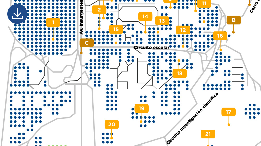
You will find the stops and connections of the 12 PUMABÚS routes, the 13 BiciPUMA modules and 12 BiciPUMA routes, 2 subway stations, and the 4 metrobus stations –the subway and metrobus are Mexico City’s fee-paying public transportation. Also, you can visualize all the sports facilities like soccer fields, gyms, and warm-up tracks, as well as administration and university community services.
Thus, it shows the emergency buttons locations to ask for immediate help within the campus.
REMEMBER! Senderos Universitarios will get you faster anywhere you want to go in University City.